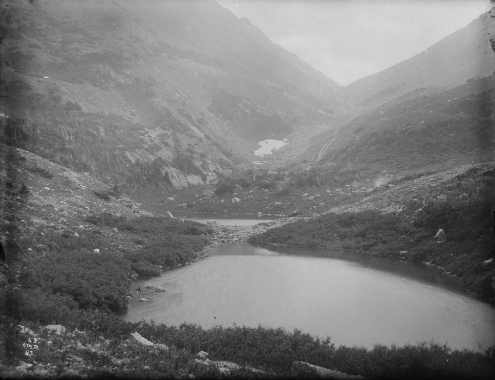
Kootenay District

It’s fascinating to look back at old manuscripts, manuals and booklets, that describe life in and around Golden in the time before we were all born. This excerpt comes from the British Columbia Directory for 1887.
“The timber in the Upper Kootenay Valley is remarkably fine, particularly the tamarack (larch), and yellow pine species. Both of these kinds will soon come into demand down the Columbia River, where, owing to an abrupt change in the climate from a dry to a wet zone, neither of these trees are found.
The Upper Kootenay Valley can best be reached from Golden City, on the C.P.R. by the steamer Duchess, which makes the trip in one day (105 miles). From the valley, several low passes (Vermillion, Crow’s Nest and Kootenay Passes), lead across to the North West Territory over good trails and with the best feed. In future, these routes will be the cattle trails by which the eastern cities can be gained at no expense for shipping. Likewise, can the Northern Pacific Railway be reached over easy country so that the settlers will have the choice of two routes for shipping produce and stock, the best cure for high freight rates.
A Canadian company (the Eastern Columbia Railway Company) are, at date of writing applying for a charter to build a railway between Golden City and the ‘Canal Flat,’ at the head of the Upper Kootenay Valley.
In 1845, the famous missionary and world-wide traveler, Father de Smet, visited the Upper Kootenay Valley and write home: “The advantages nature seems to have bestowed in this spot will render tis geographical position very important at some future day and when emigration shall be penetrated, it will prove a very important point. The climate is delightful, the extremes of heat and cold are seldom known. The hand of man would transform it into a terrestrial paradise.”
A few more years and the old traveler’s prophecy will have become true.
The Columbia Valley comprises the great bend of the Columbia River around the Selkirks, which is undoubtedly the most majestic group of mountains in North America. The valley, following the Columbia, is 440 miles long; but only the uppermost portions are available for agricultural or stick-raising purposes, the remainder being a densely timbered and rocky country of much future importance, however, on account of its mineral riches. The three chief places in the valley are Golden City, at the mouth of the Kicking Horse River where the C.P.R. first strikes the Columbia River after descending from the Rocky Mountains. It will be of some importance as the distributing point for the Kootenay Valleys. Seventeen miles farther down the Columbia is Donald, a larger place on account of its being the end of the division, and it contains roundhouses and workshops of the C.P.R. Finally, Farwell, or Revelstoke, as the railway company calls it, which again is the distributing point for the Big Bend mines where quartz mining (gold) has a bright future. Farwell, too, is the pint from which the Kootenay and Athabasca Railway Co. propose to build their branch line to tap the galena mines on Kootenay Lake. The splendid white pine, cedar and fir timber along the C.P.R. route through the Kootenay district can not fail to bring about an early development and the establishment of large sawmills to supply the treeless northwest.”
